

Castaic Magnitude 3.5 earthquake hits northern part | California earthquake map
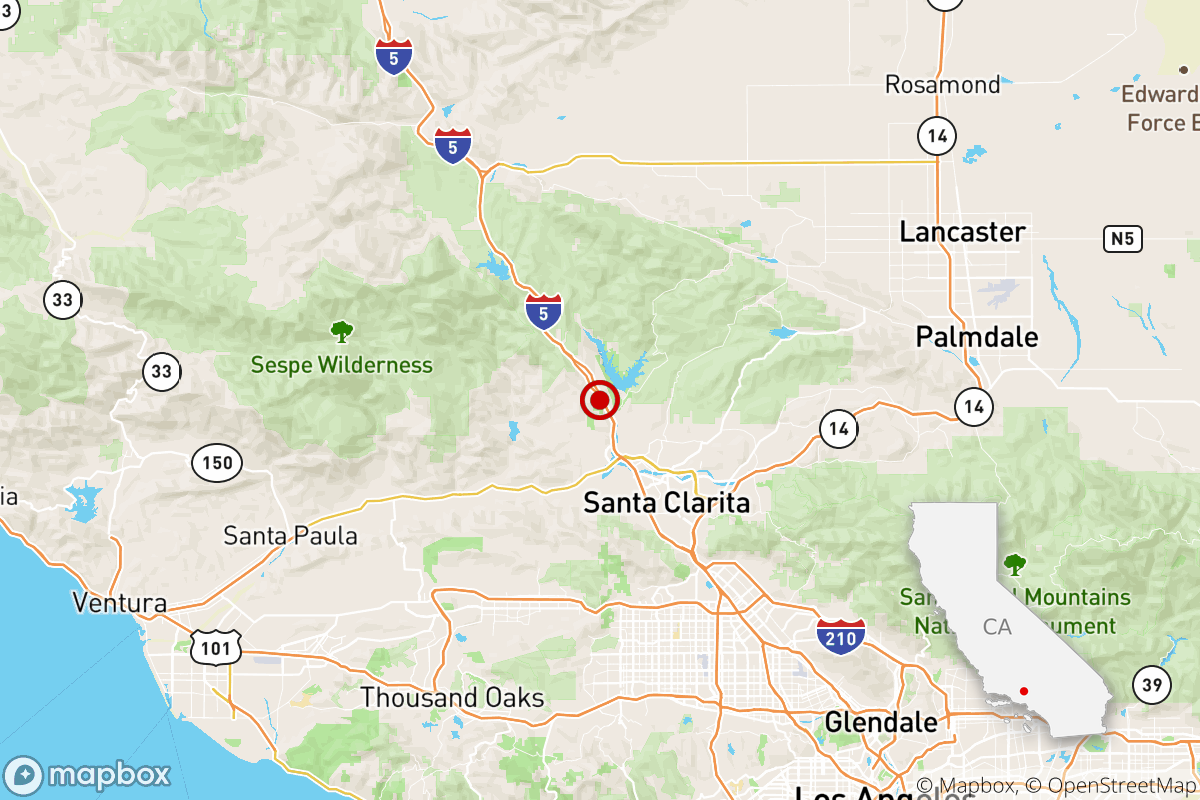
A magnitude 3.5 earthquake was reported Friday at 5:42 a.m. Pacific time in Castaic, according to the U.S. Geological Survey.
Residents in Castaic and in the Santa Clarita Valley got an extra jolt from an earthquake to help them wake up Friday.
The earthquake occurred four miles from Santa Clarita, six miles from Stevenson Ranch, 13 miles from Simi Valley and 13 miles from Los Angeles, at a depth of 10.8 miles.
In the last 10 days, there have been no earthquakes of magnitude 3.0 or greater centered nearby.
The magnitude-3.5 earthquake struck at 5:42 a.m. about a mile north-northwest of Castaic and at a depth of 10 miles, according to the U.S. Geological Survey.
An average of five earthquakes with magnitudes between 3.0 and 4.0 occur per year in the Greater Los Angeles area, according to a recent three-year data sample.
Did you feel this earthquake? Consider reporting what you felt to the USGS.
Even if you didn’t feel this small earthquake, you never know when the Big One is going to strike. Ready yourself by following our five-step earthquake preparedness guide and building your own emergency kit.
The temblor was felt most in Valencia and the surrounding Santa Clarita Valley area, but reports to the USGS came in from as far as Inglewood. There were no reports of damage or injuries.

